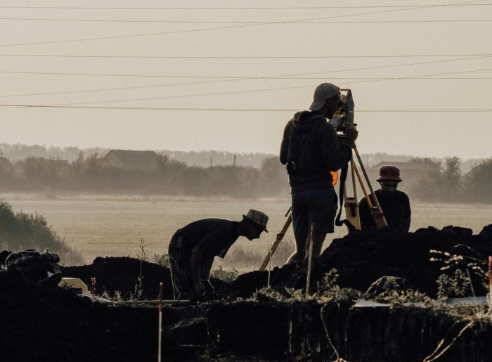
Our work in the field of geodesy is based on technical precision, a structured methodology, and full compliance with legal procedures in cadastral and engineering geodesy. Every process is carried out through a clearly defined sequence of steps – from field measurements, through data processing and verification, to the preparation of the required documentation.
In practical work, we apply a simple and technically correct approach, ensuring that all participants in the project – the investor, owner, designer, or contractor – receive a reliable and usable geodetic basis for further stages of planning, construction, or administrative procedures.
We pay special attention to the accuracy and consistency of documentation, as well as to the precise execution of steps prescribed by cadastral procedures. Data quality directly affects the speed and success of the process, which is why all measurements and reports are prepared with result verification and a clear representation of the actual site conditions.
Our goal is to provide clients with precise and clear data necessary for making technical decisions, preparing designs, executing works, or initiating cadastral processes.